
 Our last day on the trail! We were very excited to start our day today, and were on the road by 6 a.m. We arrived out in Montauk early, so we decided to have a light breakfast at Mr. John's Pancake House. We were back at our starting point at Upland Road and on the trail by 8:15. We felt, with a 9 mile day ahead of us, it would be plenty of time to arrive at the Lighthouse with our family waiting to see our big finish.
The beginning of this section was not groomed like some of the other sections. As you can see, we were immediately immersed in high grass and bushes. This brings on an immediate concern about ticks, which yes, we were covered. The first 45 minutes of the trail really deflated our excitement for the day. The trail was unrecognizable at many points, and the parts that were, took us through pretty obnoxious plants, with spiky thorns that could take your eye out if you walked into them.


We had a very difficult time navigating through some of this overgrown trail. Our clothing, backpacks, hair and arms were stuck on the thorns many times, causing discomfort and even drawing blood on occasion. All we could do is try and laugh, as we were only a mile in and were already having a bit of difficulty.
Here are some short clips of some of our not so smooth moments.
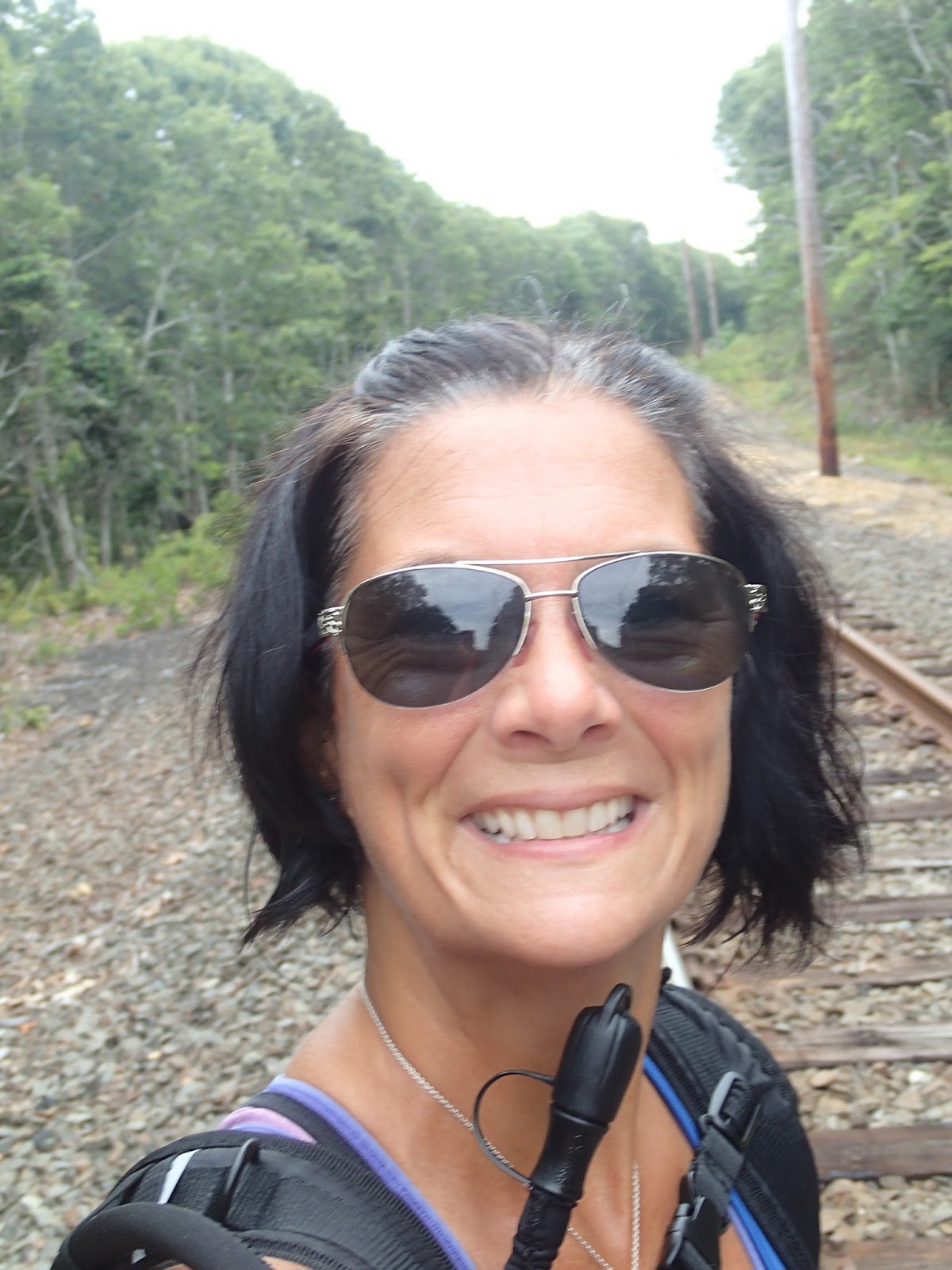
That first mile really took a toll. What I hadn't realized at only .7 miles in, after crouching through a really thorny, dense patch of brush, my cell phone dropped. We walked almost a mile and a half, through a park, and onto Main Street before I realized that my Endomondo app had not announced any mileage. UGH. We had to turn around and backtrack to find it. I felt really bad because we had already taken so long to get through this.


On my way back towards the park we had walked through, I was rushing, as to make up some time that I had cost us due to dropping my cell phone. I tripped over a tree root and went flying forward, and landed face down on top of another tree root that was protruding out of the ground. I had the wind knocked out of me, my glasses went flying, and I was covered in dirt. All we could do is laugh, as we had so much more to do, and didn't want our day to be defined by this rough beginning. I dusted myself off and we moved on. We got to walk back through this cute little park, where there were picnic tables, benches, and this awesome turtle statue.


 After our minute or two break in the park, we walked along this footbridge and out onto Main Street, right across the street from Kirk Park Beach. This is where we would eventually park and relax on the beach with our families. We headed east, with a bit of road walking before entering back into the woods for 3 miles of navigating around houses and buildings. At the 5 mile mark, we entered into the boundaries of Montauk State Park, and walked through some pretty obnoxious, unkempt terrain. The ticks were horrific, and the trail was almost non-existent. The blazes were poorly placed, with some sections showing none at all. We made two wrong turns here, and the second wrong turn took us a mile out of the way before we decided to turn around and head the other way. We had to walk through two huge mud puddles while on this wrong trail, which just made matters worse. You can see that by clicking the link above titled "Nasty, Nasty!"
We also walked around the outer perimeter of Deep Hollow Ranch, which allowed us to meet up with this beautiful fellow.


At one point, Rosa stepped right on a small black snake and didn't even realize it until I screamed "You stepped on a snake!" She screamed and jumped back, which caused both of us to go into hysterics immediately.
 This was our most exciting day, by far, because we were finishing, but it turned out to be our most challenging day because of all the mishaps along the way. Around the 6 mile mark, my phone began to give me trouble and shut off randomly. This was so frustrating because we use it to track our hiking. Once it restarted, I was able to begin a second hiking workout, but now it would not be one continuous post for us, so I was a little disappointed.
With a little over 9 miles in, we headed south, crossed over Montauk Highway, and into Camp Hero State Park. This was very well marked, and took us winding through the woods and out onto dirt service roads throughout the park. It lead us out to the water, on the edge of a cliff with a beautiful scenic overlook of the ocean.

Unfortunately, this is where my camera died, so there were no more pictures to be taken. At this point, we were over 11 miles into our hike, tired, hot, and anxious to be done. The blazes in this area became more difficult to find as well. We actually went in a complete circle around the 12 mile mark because of the poorly marked trail. The only thing saving us at this point was, at every turn towards the water, we could see the lighthouse getting closer and closer. We began to approach the park entrance, where there were people walking around, hiking through the trails we just came from. We came out onto the beach, found the Paumanok Path logo and white blaze, and were so excited because we thought we had come to the end.

We stopped to snap this quick picture with my phone, and then wondered, "where is everyone? Our families were supposed to meet us at the end!" We walked out onto the beach, and then heard Dakota call out to us. We were not done! We did not realize that the trail would take us over the rocks and around the whole lighthouse. So after some emotional hugs and words of encouragement, Rosa and I led the way with our families behind us around the last part of the trail, which was over the massive boulders surrounding the base of the lighthouse along the shore.


 |
| approaching the final blaze |
 |
| the FINAL BLAZE |
 |
| WE DID IT! |


Your support meant the world to Rosa and me, for what we do next you have to wait and see!

Rosa & The Thruhiker's Wife


